Stunning Waterfalls, Lakes, Dams & Rivers to Explore
A visit to our beautiful corner of Mid & West Wales would not be complete without discovering some of its wonderful water features. The rivers are clean and full of wildlife. The lakes are so scenic and many have dramatic dams. The waterfalls are amazing and many come with a great walk included. This is just a small selection of the ones we know. Get out there and explore!
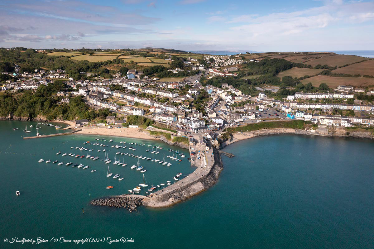
Cenarth Falls
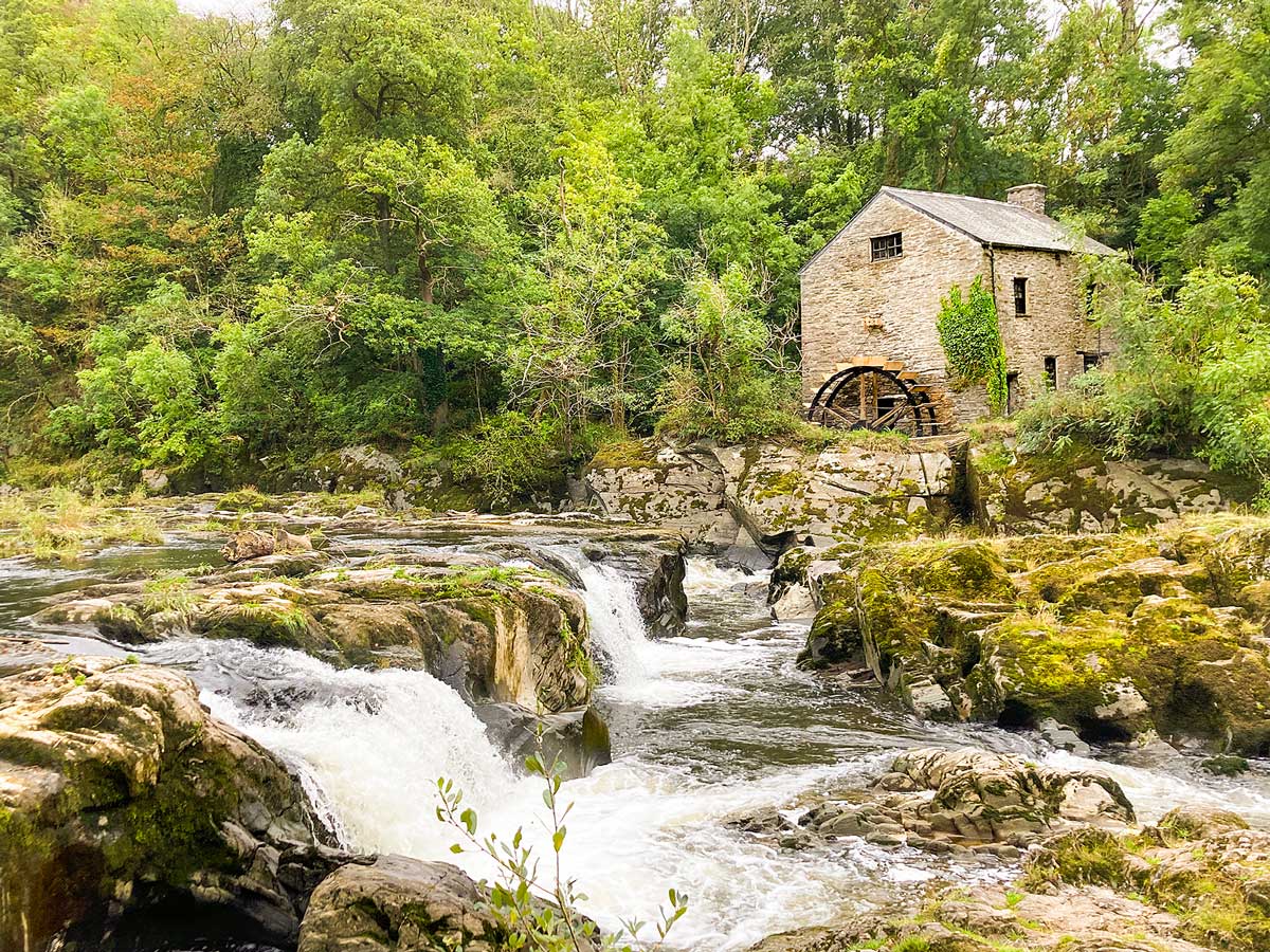
Cenarth is a lovely small village on the border of Pembrokeshire, Ceredigion and Carmarthenshire. The focus of the village is Cenarth Falls, a series of small waterfalls and pools on the river Teifi and a well-known salmon leap.
There is a Coracle museum and 13th-century flour mill overlooking the falls.
Cenarth has a couple of pubs and a tea room serving traditional cream teas and meals with a large garden for warmer days.
There are boardwalks along the riverside making the walk easy and accessible.
Find out more: Our Visits to Cenarth
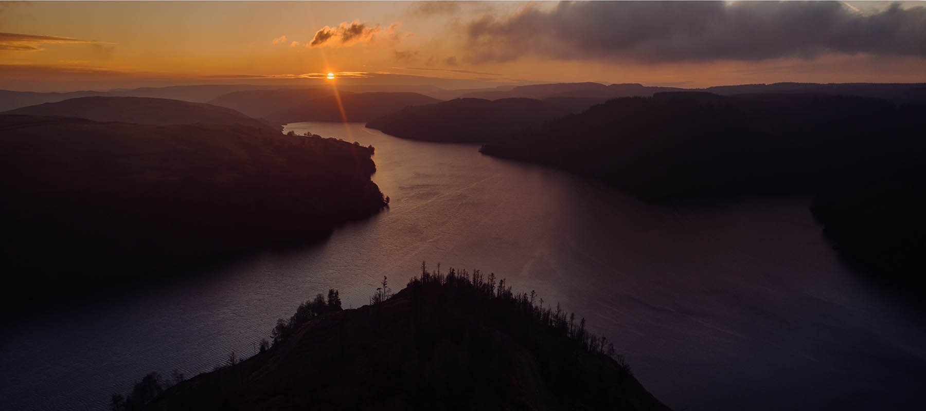
Llyn Brianne
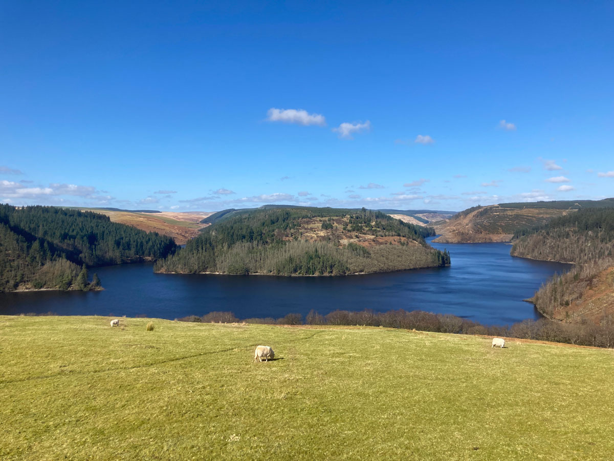
The drive from Coedmor Cottages to Llyn Brianne is a delight in itself. Take your time and savour the views as you enter the Cambrian Mountains.
The lake is actually a reservoir created in the late 1960’s/ early 70’s. But the scenery is reminiscent of Canada or Scandinavia – just beautiful.
The dam at Llyn Brianne is the UK’s tallest at 91m (300 ft). Walk across the top of the dam and see martins swooping below.There is a good track to walk around part of the lake.
If you are keen on stargazing, the car park at Llyn Brianne is also a Dark Sky Discovery Site being part of the Cambrian Mountains Astro Trail.
The drive around the lake is a great way to take in the scenery and for an alternative route back to the cottages the road between Llyn Brianne and Tregaron is worth a detour for spectacular Cambrian Mountain scenery.
Find out more: Llyn Brianne
Devil’s Bridge Falls
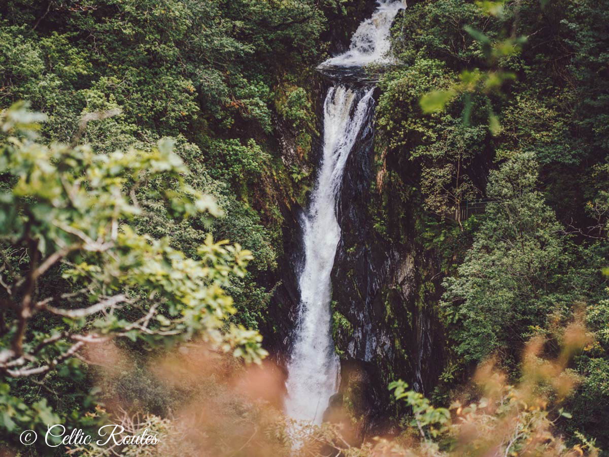
About 50 minutes away from Coedmor Cottages, Devil’s Bridge Falls is a picturesque spot known for its natural beauty and fascinating legend. The bridge itself is an architectural marvel, actually comprised of three bridges stacked on top of each other, each built in different centuries.
The walking trail from the bridges offers breathtaking views of waterfalls, wooded valleys, and lush greenery.
Make sure to visit the Devil’s Punchbowl, a dramatic chasm carved out by the River Mynach over thousands of years. The sight of the river cascading into the gorge below is truly awe-inspiring.
Round off your visit in The Hafod (next to the exit) for food & drinks. Or treat yourself to something sweet at Sarah Bunton Chocolatier.
Find out more: Visiting Devil’s Bridge Falls
Elan Valley
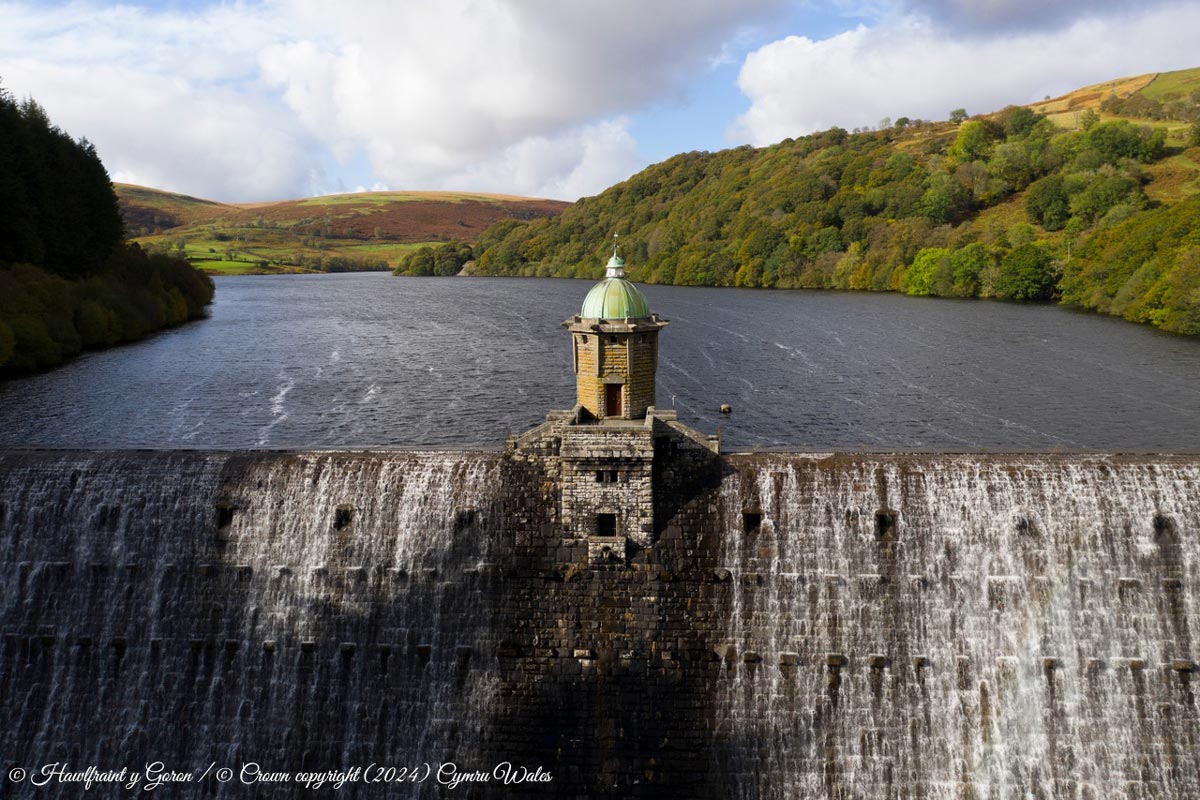
Elan Valley is one of our top picks for places to visit. Located about 90 minutes from our cottages, near the town of Rhayader, it is renowned for its stunning landscapes, reservoirs, dams and abundant wildlife.
There is a network of walking, hiking and cycling trails that cater to various skill levels. But simply driving around the reservoirs, as well as visiting the various dams, is a great day out. Start at the visitor centre to get your bearings (and coffee & cake).
The reservoirs are scenic but it is the dams which make this a unique place to visit. They are a marvel of engineering in addition to being very beautiful.
Make sure your route back to the cottages takes you along the Mountain Road from Elan Valley to Devil’s Bridge. You can thank us later. 🙂
Discover more: Visiting Elan Valley
Wolf’s Leap, Abergwesyn
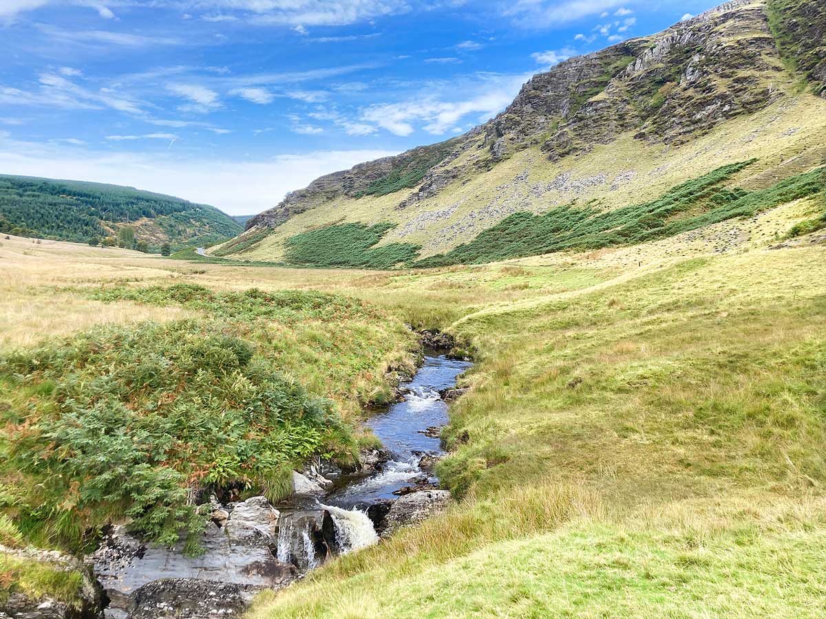
Abergwesyn Pass in the Cambrian Mountains is one of our favourite spots (but don’t tell everyone)! It has dramatic awe-inspiring cliffs and the River Irfon flows through it. The most dramatic part of the river is Wolf’s Leap -a real natural wonder, with water cascading down rugged rocks into deep pools. There are several lovely spots beside the river to relax and have a picnic and if you are brave you can swim there too. Watch out for Peregrine Falcons on the cliffs above.
You drive the Devil’s Staircase to get to Abergwesyn which is known as one of the most epic roads in Wales. It is in total about a 60 minute drive from our cottages.
Find out more: Wolf’s Leap & Abergwesyn
Llyn Berwyn
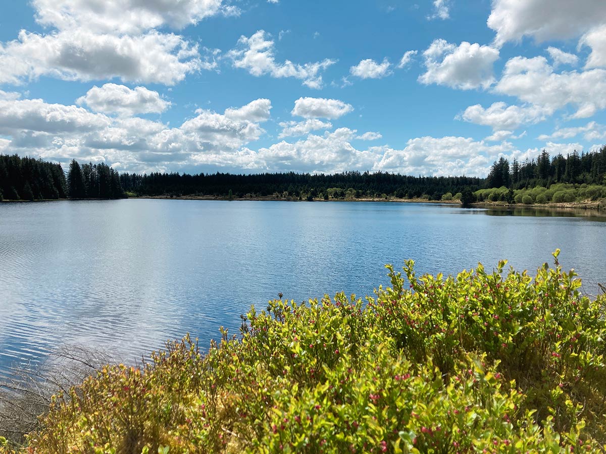
If you really want to get away from the crowds, Llyn Berwyn is usually a very quiet spot. The drive from Tregaron is very scenic and there is a picnic spot at the small Cwm Berwyn car park with stunning views down the valley. A short walk from the car park through Cwm Berwyn woods is the hidden 40 acre lake. In summer you will see swallows swooping over the water from their nests in the boat house. Wild bilberries line the banks and you may see wild brown trout in the lake. It is about 40 minutes drive from our cottages and we recommend visiting as part of a day exploring the Cambrian Mountains.
Location: Llyn Berwyn on Google maps
Llyn Teifi Pools
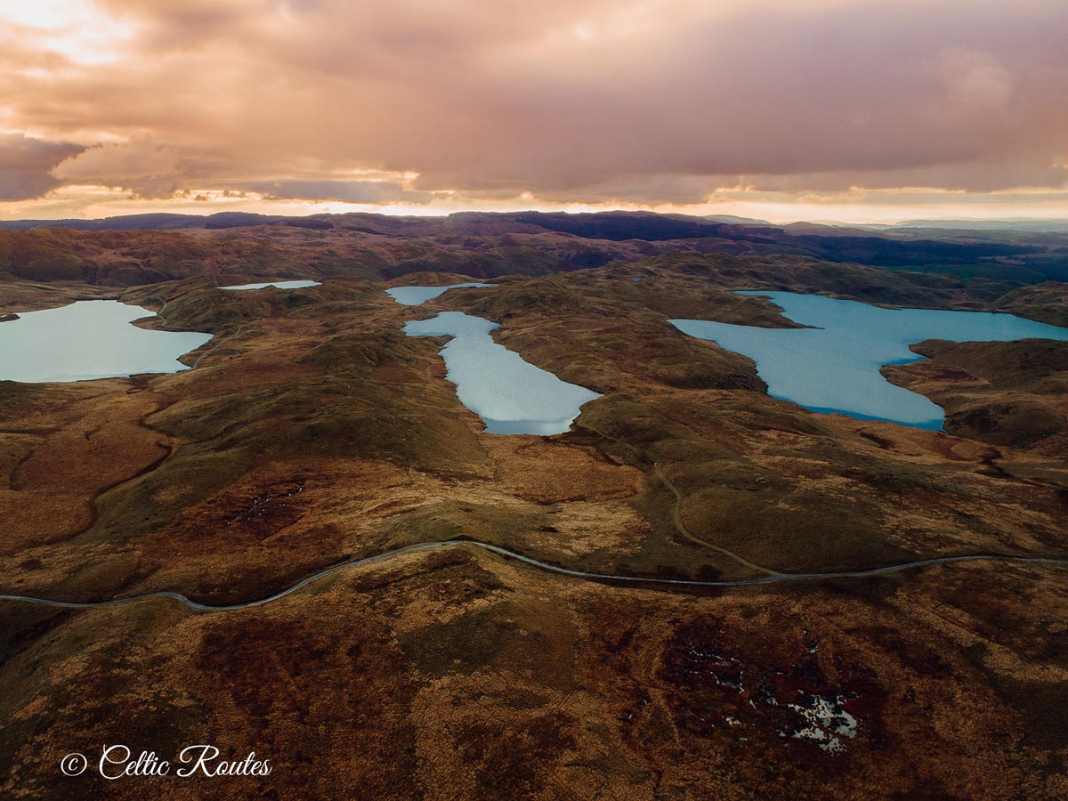
Towards the west edge of the Cambrian Mountains, the Teifi Pools are a group of six lakes and reservoirs. They can be reached by a narrow, one-track road near the village of Pontrhydfendigaid, site of the picturesque ruins of Strata Florida Abbey. A few of the lakes have been harnessed for water supply and have dams. The rest are totally untouched. There are no signs of human habitation for miles.
Llyn Teifi is the largest of the reservoirs and is the source of the River Teifi. Surrounded by scenic landscapes, it is a popular spot for trout fishing and a great destination for nature lovers.
The area is almost completely undeveloped, and has a great feeling of remoteness.
You can find details of walks around the lakes on Google – here is a detailed 6.5 mile route: Teifi Pools Circular
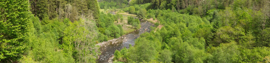
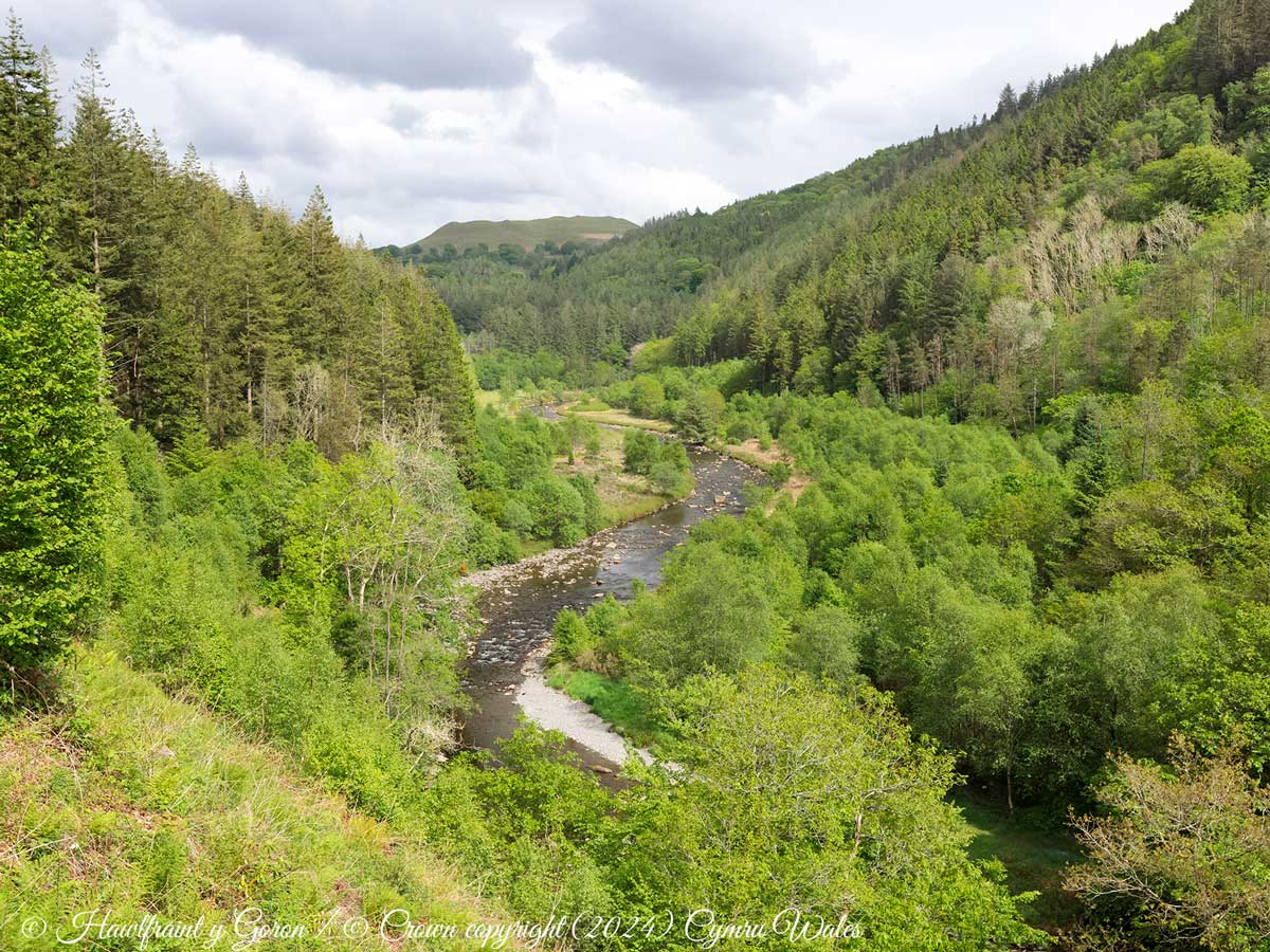
Teifi Gorge
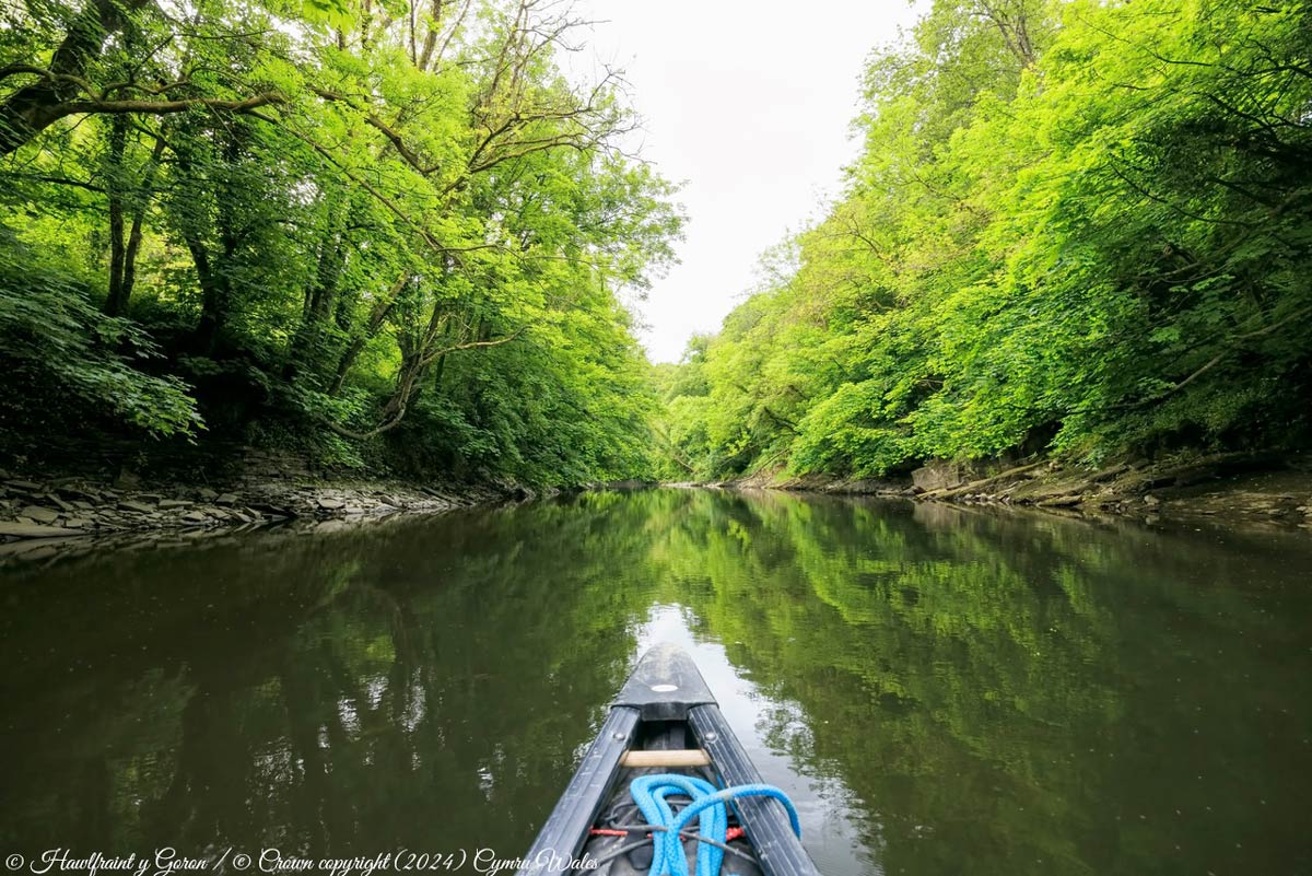
The Teifi Gorge is a Special Area of Conservation. Lined with steep, densely wooded banks, it is a haven for wildlife. You can take a half or full day canoe trip down the river, passing through the gorge. You have the chance to see some fantastic creatures like Otters, Red Kites, Salmon, Kingfishers and even Red Deer.
Find out more: Canoeing on the Teifi
Four Falls Trail
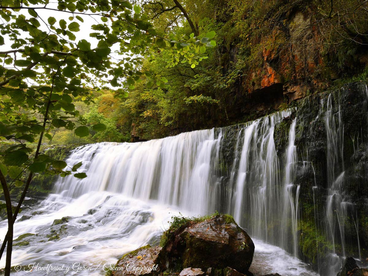
The Four Falls Trail is a scenic hiking trail that takes you through the breathtaking Brecon Beacons National Park, showcasing four stunning waterfalls along the way. The trailhead is easily accessible by car and is well-signposted from the main road.
The trail is a long challenging walk. You should allow at least three hours (plus snack-stops) to navigate it. Expect a fair amount of up-and-down over uneven terrain.
The highlight is the chance to see four beautiful waterfalls nestled within the lush woodland scenery. The waterfalls you’ll encounter along the trail are Sgwd Clun-Gwyn (the Fall of the White Meadow), Sgwd Isaf Clun-Gwyn (the Lower Fall of the White Meadow), Sgwd y Pannwr (the Fall of the Fuller), and Sgwd-yr-Eira (the Fall of Snow). Each waterfall has its own unique characteristics.
Find out more: Four Falls Trail