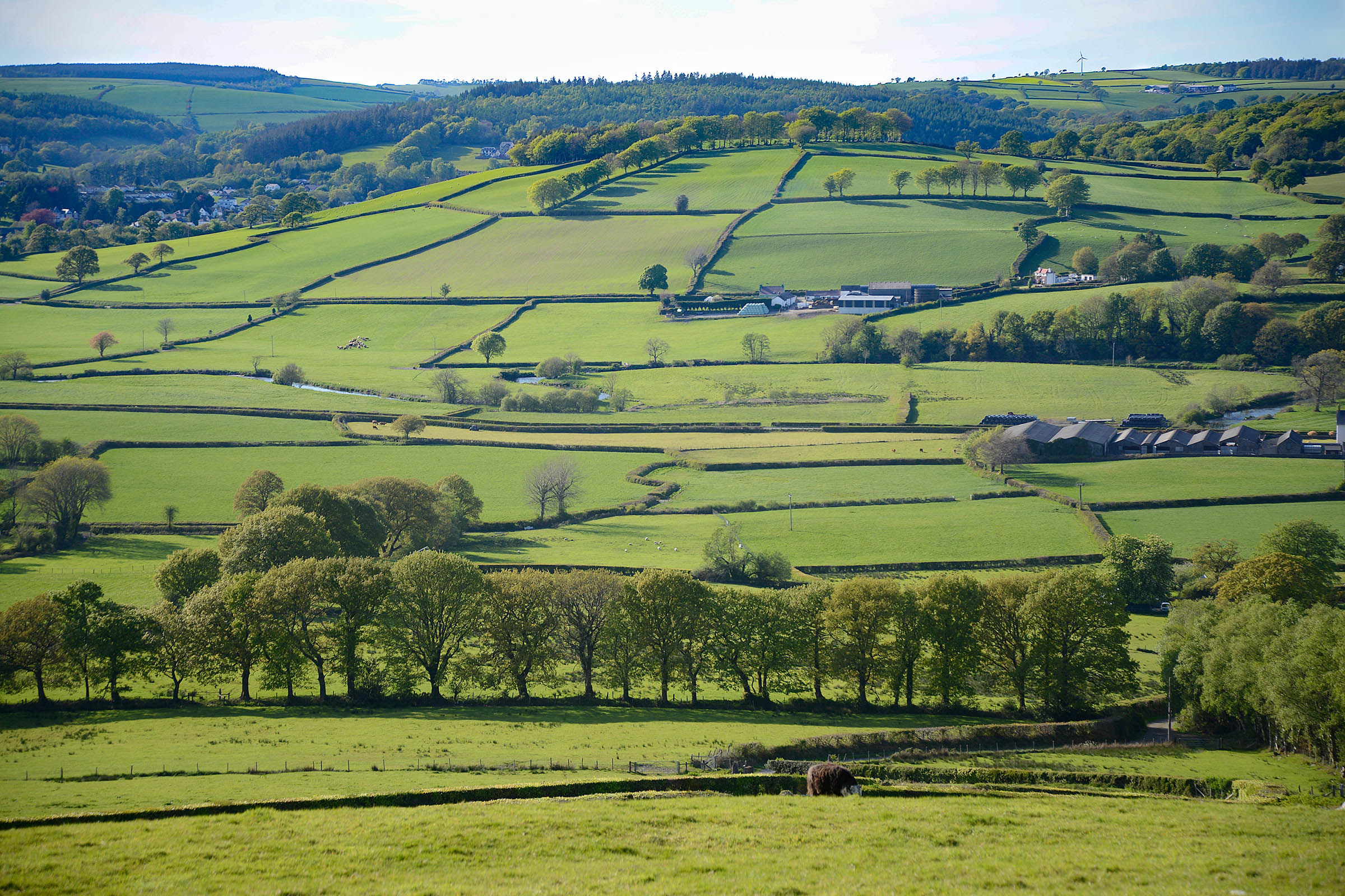
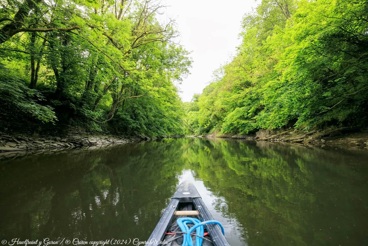
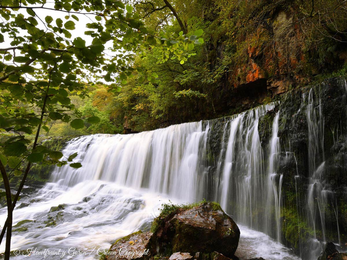
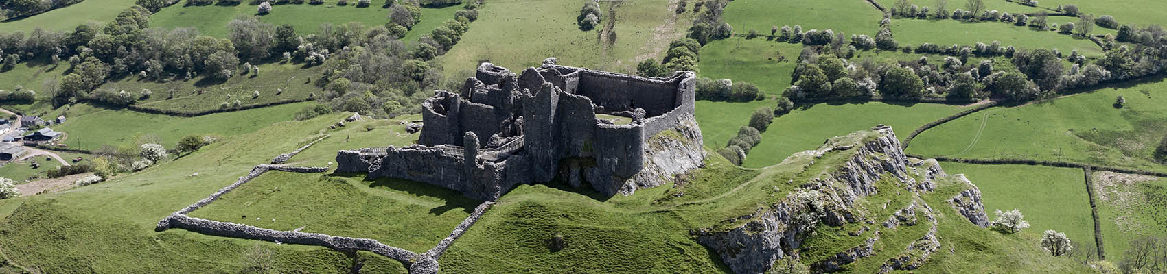
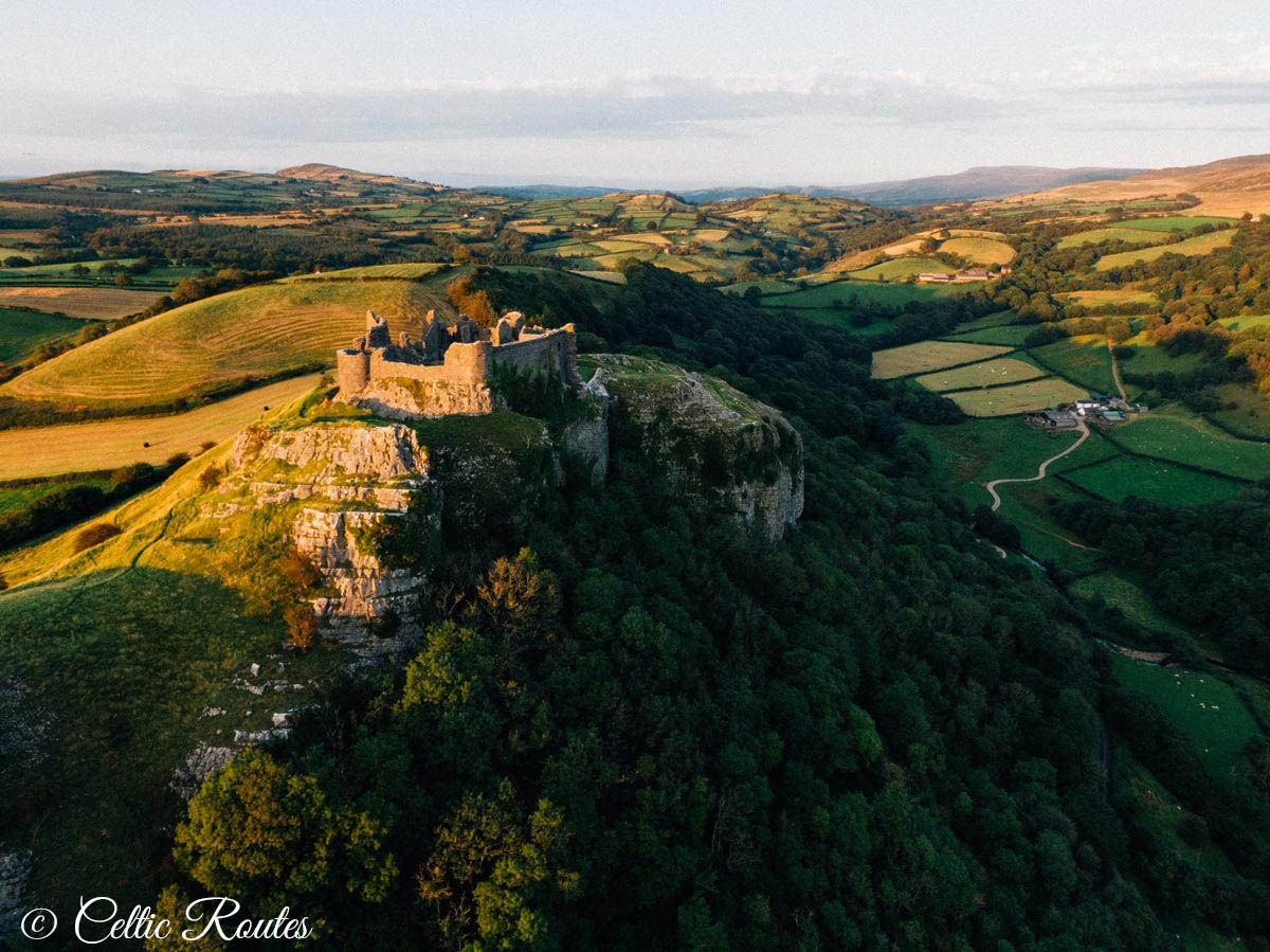
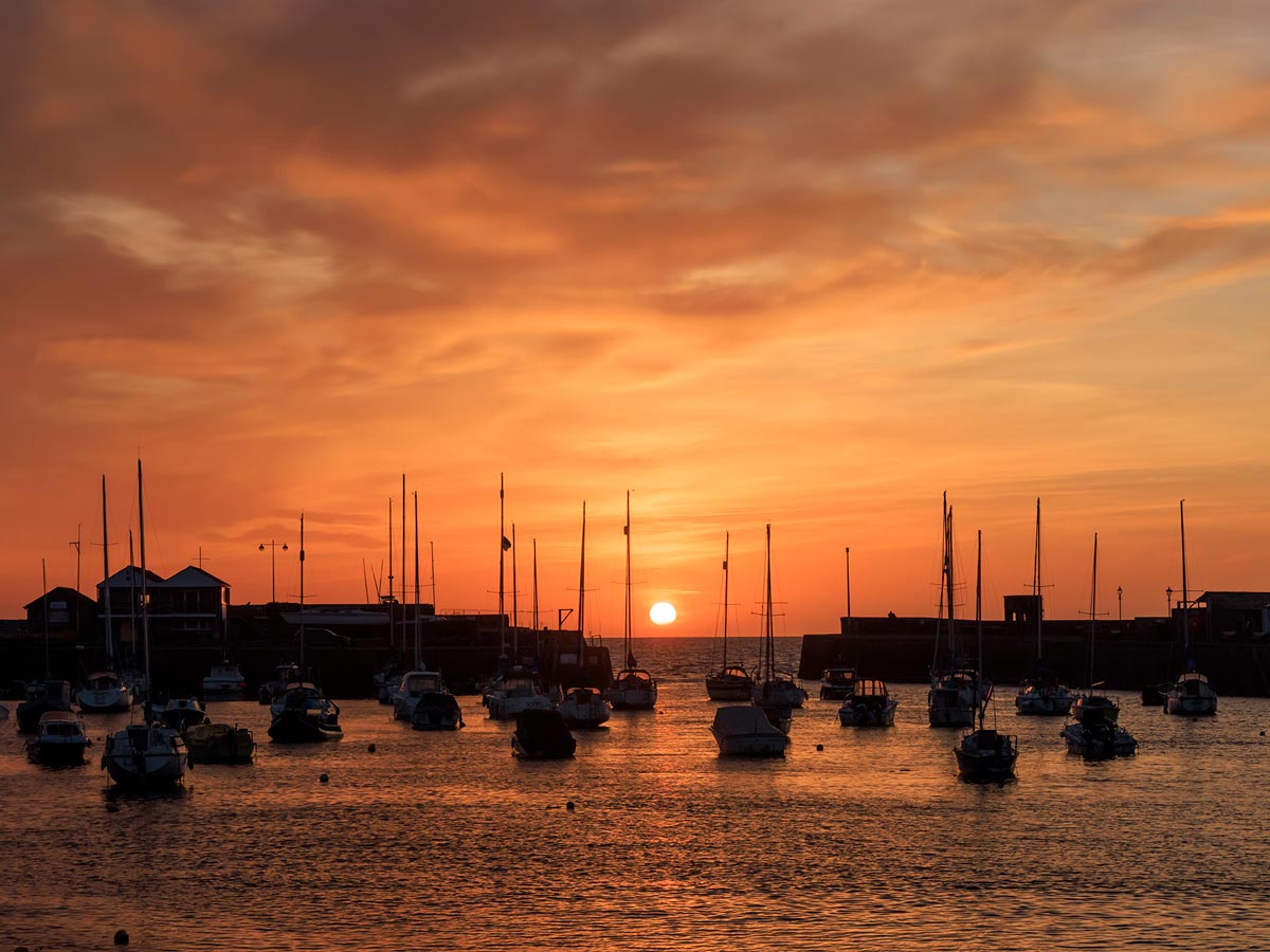
When you’re planning your holiday to Coedmor Cottages you may need some ideas for days out. Here is a handy list of events in Mid Wales 2025 including festivals, fairs and concerts to help you to make the most of your time in wonderful Wales. Events in West Wales are easily accessible from our cottages too. All these days out are doable as a day trip from our cottages and each listing is a clickable link so you can find out more about the event.

February & March
1st & 2nd March 2025 St David’s Day Food & Drink Festival
Pembrey Country Park
Date TBC March St David’s Day Food & Craft Weekend
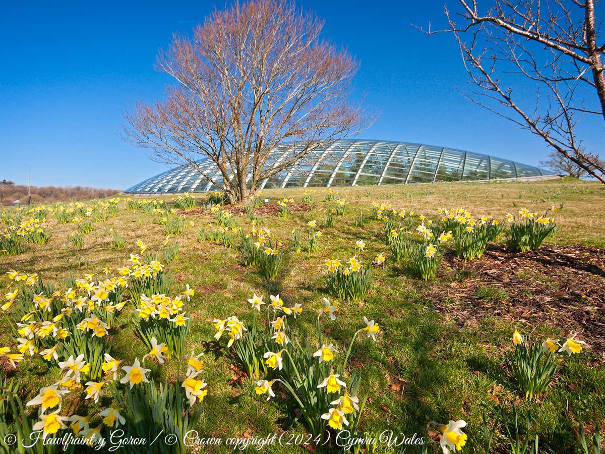
National Botanic Garden of Wales (10:00 – 16:00)
28th-30th March 2025 – The Laugharne Weekend
Laugharne
29th-30th March – Battle on the Beach Cycle Race
Pembrey Country Park/Cefn Sidan Beach
April
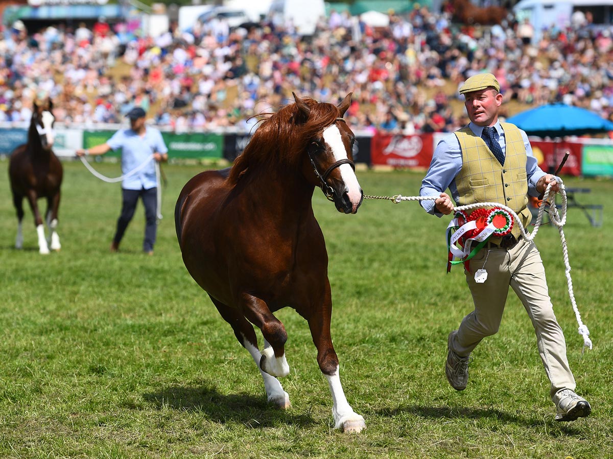
19th April 2025 – Lampeter Stallion Show
Talsarn, SA48 8QB
Date TBC April 2025 – Pride in Aberystwyth
Bandstand, Marine Terrace
26th April 2025– Barley Saturday – Horse Parade
Cardigan
26th & 27th April 2025- Wonderwool Wales
Royal Welsh Showground, Builth Wells
May
2nd – 4th May 2025 – Machynlleth Comedy Festival
Various venues Machynlleth
14th May 2025 – International Dylan Thomas Day
17th & 18th May 2025 – Spring Festival
Royal Welsh Showground, Builth Wells
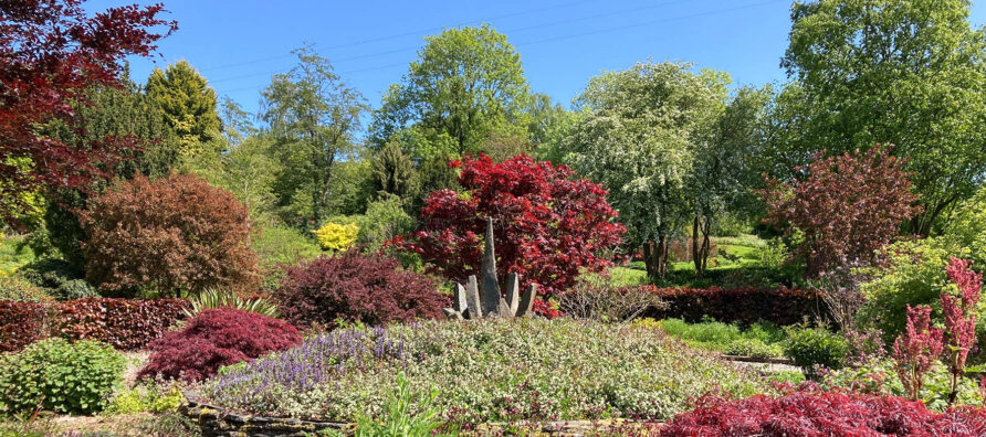
Date TBC May – Ceredigion Garden, Craft & Food Festival
Alban Square, Aberaeron

June
5th – 9th June 2025 – Westival
Manorbier, Pembrokeshire
Dates TBC June – Pembrokeshire Street Food Festival
South Beach, Tenby
14th June 2025 – Man v Horse
Llanwyrtd Wells
14th June 2025 – Aberystwyth & Ceredigion Show
Gelli Angharad Fields, Aberystwyth
21st & 22nd June 2025 – Pride Cymru
Coopers Field Cardiff
Date TBC June 2025 – Llandeilo Pride
Market Street, Llandeilo
Date TBC June – Towy Valley Vintage Show (Vehicles)
Pontargothi Showground, Llandeilo
27th -29th June – Balloons & Tunes Festival
Carmarthen Showground

July
5th July 2025 – Lampeter Agricultural Show
Pontfaen Fields, Lampeter SA48 7JN
5th & 6th July 2025 – Wales National Airshow
Swansea
12th July 2025 – Tivyside Agricultural Show
Glan-Llyn Fields Newcastle Emlyn
12th July 2025 – Llanelli Pride
Selwyn Samual Centre, Park Crescent
17th – 20th July 2025– Brecon Choir Festival
Brecon
19th July 2025 – Carmarthen River Festival
The Quay Centre Carmarthen (11:00-15:00)
20th July – BBQ and Beats
Aberaeron Yacht Club
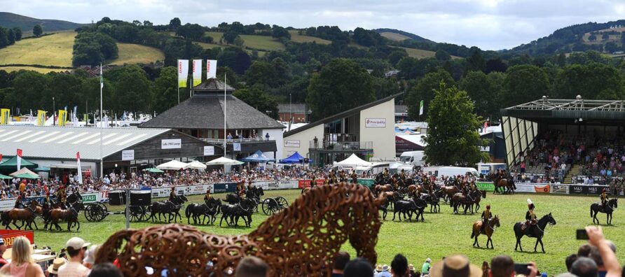
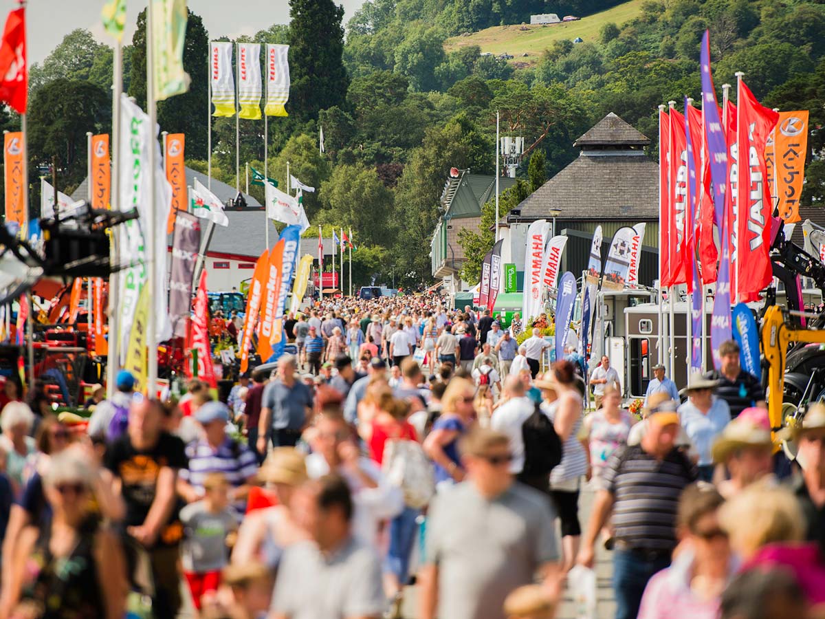
21st – 24th July 2025 – Royal Welsh Show
Royal Welsh Showground, Builth Wells
26th July 2025 – Lampeter Food Festival
University of Wales Trinity Saint David Campus
27th July 2025 – West Wales Shire Horse Annual Show
Alban Square, Aberaeron
27th July 2025 – Mind Body Spirit Fair
Ystwyth Garden Nursery (11:00-17:00)
August
1st – 3rd Aug 2025 – New Quay Music Festival
New Quay FC Parc Arthur
2nd August 2025 – Brecon County Show
Brecon County Showground
2nd August 2025 – Cardigan County Show
PantyGrwndy, Cardigan
8th -10th August 2025 – Brecon Jazz Festival
Various Venues in Brecon
9th August 2025 – Tresaith Beach Party
Tresaith Beach
9th August 2025 Lampeter Town Carnival
Town Centre (12:30pm)
9th August 2025 – Aberaeron Beer & Cider Festival
Aberaeron Yacht Club (12:00 – late)
9th August 2025 – Llanilar Agricultural Show
Castle Hill Fields (nr The Falcon)
14th – 16th Aug 2025 – Cardigan Bay Regatta
New Quay
16th August 2025 – Tresaith Beach Party
Tresaith Beach
16th – 24th Aug 2025 – Cilgerran Festive Week
Cilgerran
16th Aug 2025 – Cardigan River and Food Festival
Quay Street Cardigan (10:00 – 17:00)
16th August 2025 – Llandeilo Show
Cawdor Fields, Ffairfach
23rd August 2025 – Tresaith Beach Party
Tresaith Beach
23rd Aug 2025 – Aberaeron Mackerel Fiesta
Aberaeron Yacht Club & The Harbourmaster
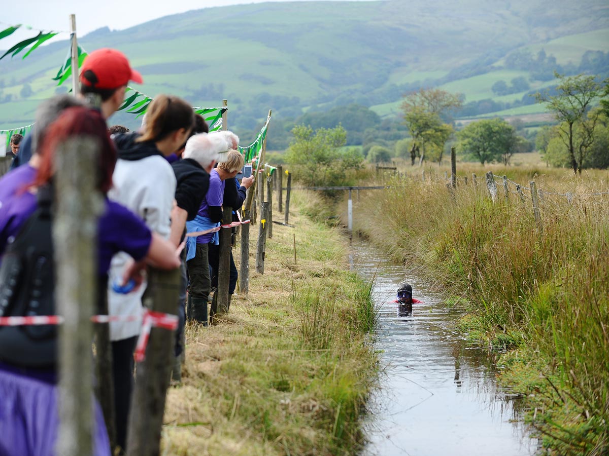
24th Aug 2025 – World Bog Snorkelling Championship
Waen Rhydd Bog Llanwrtyd Wells
24th August 2025 – Cruise Culture Car Show
Carmarthen Showground
24th August 2025 – Tresaith Regatta & Beach Party
Tresaith Beach
25th Aug 2025 – Aberaeron Carnival
Aberaeron Harbour (Parade starts at 13:45)
25th August 2025 – Tregaron Show
Tregaron
September
5th – 7th September 2025 – Rali Ceredigion
Aberystwyth
5th – 7th September 2025 – Craft Festival Wales
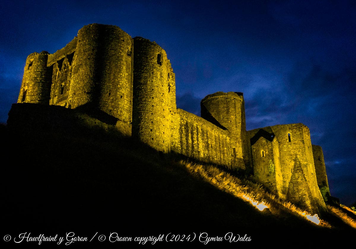
Cardigan Castle (10:00-17:00)
6th September 2025 – Llandysul Agricultural Show
Hengae Fields, Saron SA44 5DP
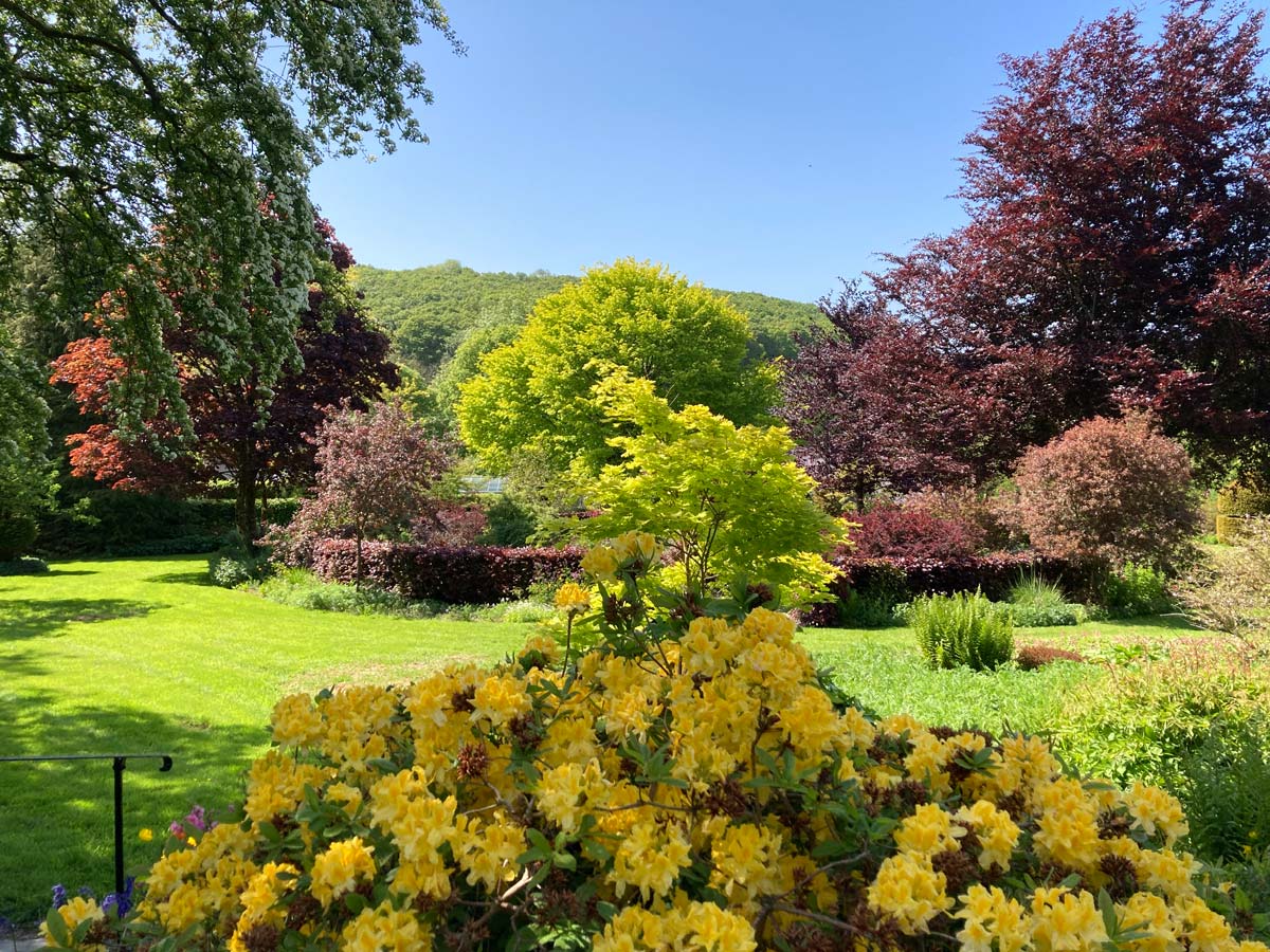
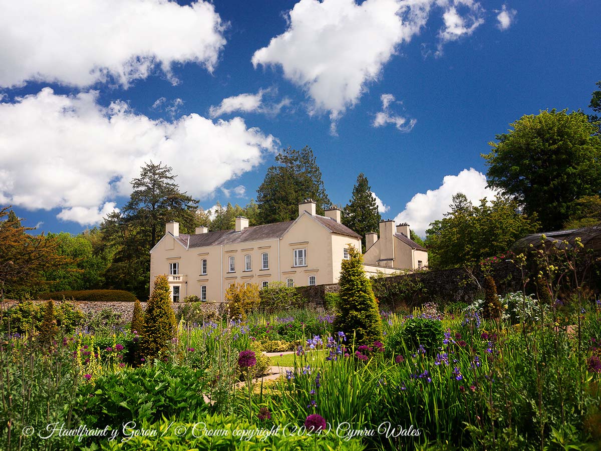
6th & 7th Sept. 2025 – Aberglasney Summer Fayre
Aberglasney, Llangathen
20th & 21st September 2025 – Llandovery Sheep Festival
Market Square, Llandovery (10am-4pm)
20th September 2025 – Dark Sky Festival
Bannau Brycheiniog National Park Visitor Centre
21st September 2025 – Harvest Festival
Ystwyth Garden Nursery
27th & 28th September 2025 – Food & Craft Festival
National Botanic Garden of Wales (10am-6pm)
27th & 28th September 2025 – Narberth Food Festival
Town Moor, Narberth (10:00-18:00/10:00-16:00)
27th & 28th Sept. 2025 – Autumn Steam Rally & Country Fayre
Pembrey Country Park (11:00 – 16:00)

October
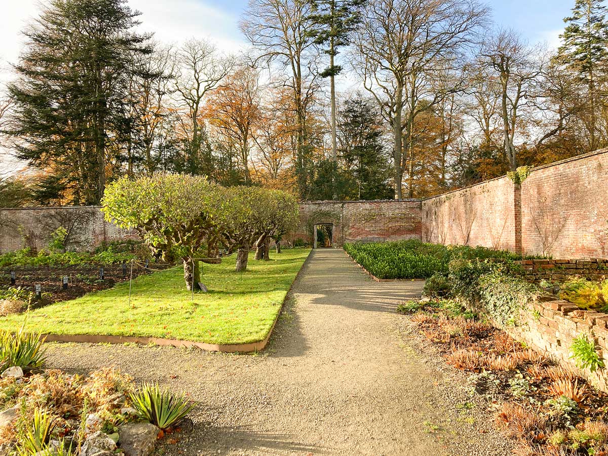
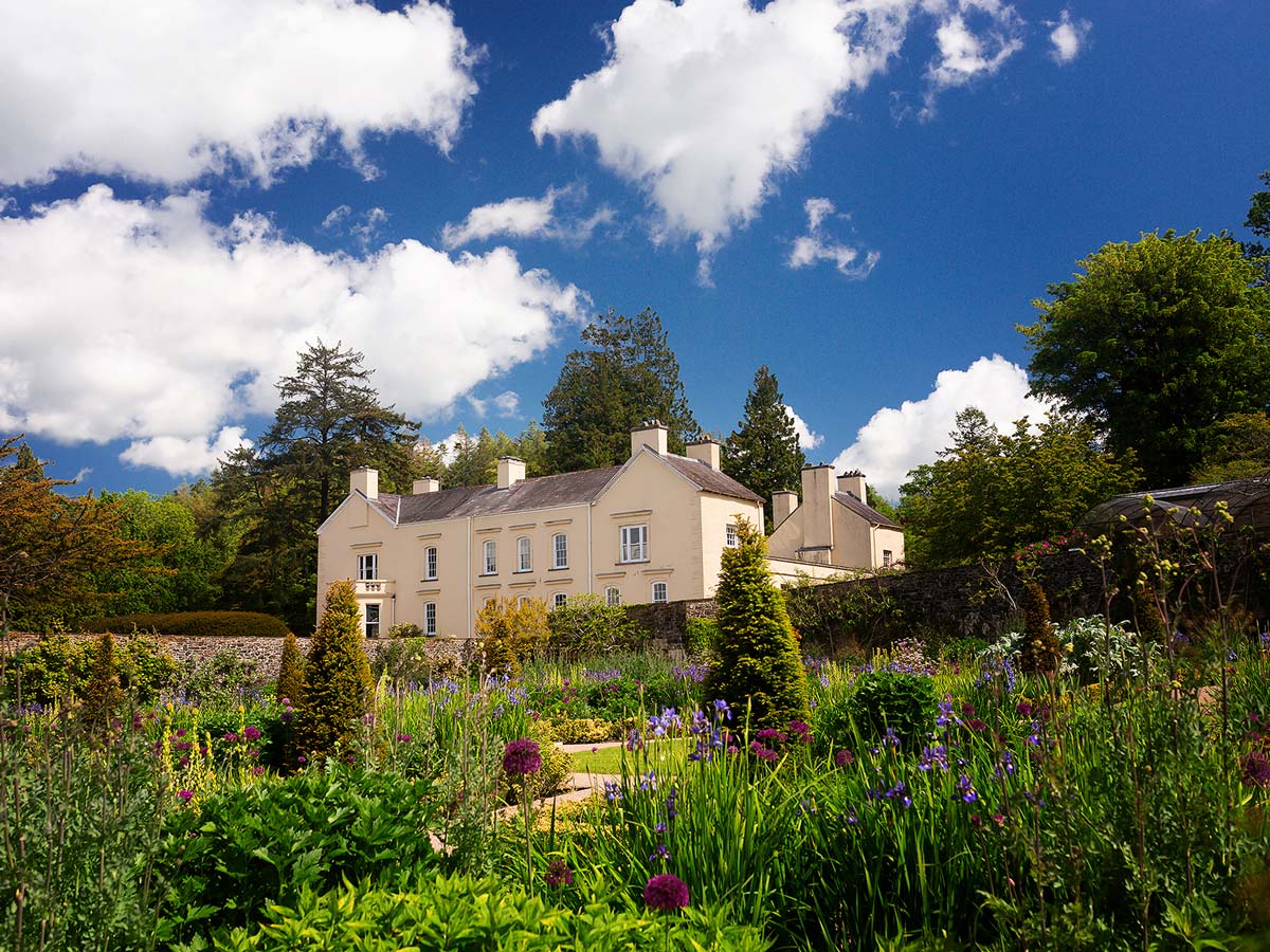
3rd – 5th October 2025 – Apple Weekend at Llanerchaeron
Llanerchaeron, Ciliau Aeron
3rd – 5th October 2025 – Aberystwyth Comedy Festival
Aberystwyth
12th October 2025 – Tywi Valley Vintage Car Rally
National Botanic Garden of Wales (10am – 4pm)
17th – 20th 2025 October Brecon Baroque Festival
Brecon Cathedral/Theatr Brycheiniog
30th October – 1st November 2025 – Other Voices Cardigan
Various venues, Cardigan

November & December
14th-16th November 2025 – Tenby Blues Festival
Various Venues in Tenby
14th -16th November 2025 – Llandeilo Festival of Senses
Llandeilo
24th & 25th November 2025 – Royal Welsh Winter Fair
Royal Welsh Showground, Builth Wells
29th November 2025 (TBC) – Aberystwyth Lantern Parade
Aberystwyth
29th November 2025 – Christmas Fair at Cardigan Castle
Cardigan Castle (10:00am – 4:00pm)
30th November 2025 – Christmas Market
Ystwyth Garden Nursery
5th – 7th December 2025 – Aberglasney Winter Fair
Aberglasney, Llangathen (10:00-16:30)
5th – 7th December 2025 – Llanercharon Christmas Fair
Llanerchaeron, Ciliau Aeron
Dates TBC December 2025 – Polar Express Train Rides
Vale of Rheidol Railway Aberystwyth
Date TBC December 2025 – Cardigan Giant Lantern Parade & Fireworks
Cardigan (19:00 – 20:00)
Check available dates for our cottages: Romantic Holiday Cottages for Couples
All Images © Hawlfraint y Goron / © Crown copyright (2024) Cymru Wales.